Switzerland's Multi-Faceted Approach to Landslide Prediction
Switzerland, a nation renowned for its stunning Alpine landscapes, faces a persistent threat from landslides. With six percent of its territory prone to slope instability, the Swiss have developed a comprehensive and sophisticated approach to landslide prediction and risk management. This strategy integrates hazard assessment, preventative measures, and emergency planning to protect its population and infrastructure.
Hazard Mapping and Risk Assessment
A cornerstone of Switzerland's landslide prediction strategy is detailed hazard mapping. New federal regulations mandate that regional authorities, known as cantons, create hazard maps that delineate areas susceptible to mass movements. These maps are incorporated into regional master plans and local development plans, effectively restricting construction in high-risk zones. The hazard maps employ a color-coded system, using red, blue, and yellow to indicate areas where construction is prohibited, requires safety measures, or is unrestricted, respectively. Areas with very low hazard are indicated with yellow-white hatching.
These hazard assessments rely heavily on historical data. An indispensable prerequisite for hazard identification is information about past events. Cantons are actively compiling data for their own registers, called “StorMe”, which are then transferred to the Swiss Agency for the Environment, Forests and Landscape to allow an overview of the different natural disasters and potential associated damage in Switzerland.
Monitoring and Early Warning Systems
Switzerland employs a range of monitoring technologies to detect ground movements and weather conditions that could trigger landslides. These systems facilitate timely alerts, allowing authorities to take preventative action.
- Sensor Networks: Switzerland utilizes sensor data to monitor ground movements and weather conditions, facilitating timely alerts when necessary. These networks often include specialized Swiss glass fiber bolts, designed to reinforce weak rock formations prone to disintegration.
- Seismic Monitoring: The Swiss Seismological Service (SED) uses its high-quality seismic network to identify signals associated with mass movements like landslides, rockfalls, and mudflows. While the initial location of these events may have an uncertainty of a few kilometers, satellite imagery, aerial photographs, eyewitness reports, and field visits are used to refine the location.
- Radar Technology: Ground-based interferometric radar is used for comprehensive monitoring of entire slopes. These radars operate independently, even without a mains power supply, and can detect movement data with millimeter accuracy. Doppler radar systems are also used to detect rockfalls, monitoring sections of roads particularly exposed to such hazards.
- Deformation Cameras: High-resolution deformation cameras are deployed to capture images of landslide areas, providing visual data on changes and movements.
- Soil Moisture Measurement: Soil wetness monitoring sites are installed to measure volumetric soil moisture and matric potential at various depths. This data helps characterize antecedent wetness conditions, which are crucial for regional landslide early warning.
Predictive Modeling and Research
Switzerland is at the forefront of research and development in landslide prediction modeling. Researchers are actively developing and testing new models, including machine learning (ML) models, to improve the prediction of potential shallow-landslide thickness.
- Machine Learning Models: Studies have developed models using random forest (RF) models, generalized additive models (GAMs), and linear regression models (LMs) to predict landslide thickness. These models consider factors like terrain, geomorphology, vegetation, and lithology. The ML models have been shown to outperform simpler models that link soil thickness to slope gradient and elevation.
- Hydromechanical Modeling: Hydromechanical models like STEP-TRAMM are used to deterministically simulate the timing, location, and volume of shallow landslides. These models calculate the progressive weakening of soil columns.
- Rainfall Thresholds: Researchers have developed rainfall thresholds for shallow landslides, using climatic datasets and landslide inventories. These thresholds consider precipitation characteristics like maximum depth, peak intensity, and duration.
Non-Structural Measures and Risk Management
Beyond technological solutions, Switzerland emphasizes non-structural measures for landslide risk management.
- Land-Use Planning: New federal regulations require regional authorities (cantons) to generate natural hazard maps and the zoning of mass movements in order to restrict development on hazard-prone land.
- Public Awareness and Education: Communication with local populations is considered essential. Authorities make considerable efforts to ensure residents are aware of landslide risks and understand safety measures.
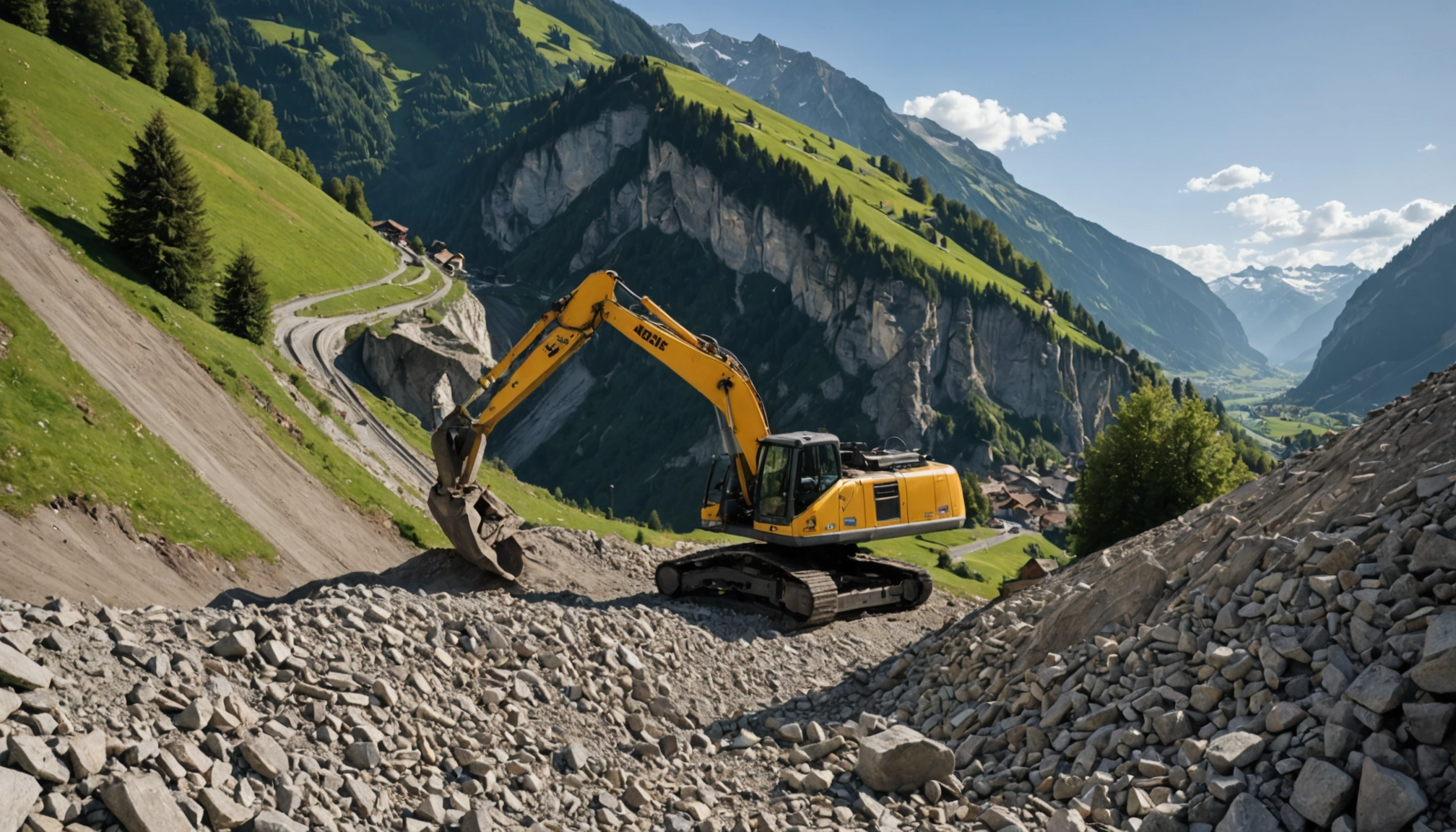
- Protective Structures: In areas where avoidance and land-use planning are insufficient, structural measures like reinforced concrete walls, embankments, and steel nets are used to protect housing and infrastructure from landslides.
- Emergency Planning: Emergency planning is a key element of the natural risk management strategy in Switzerland. This includes evacuation plans and procedures for responding to landslide events.
Challenges and Future Directions
Despite its advanced systems, Switzerland faces ongoing challenges in landslide prediction and management.
- Climate Change: Global warming is increasing the risk of natural disasters in the Alps, with melting permafrost destabilizing slopes and leading to more frequent rock falls and landslides.
- Model Limitations: Physically-based models can be limited by soil parameter uncertainty and the coarse resolution of hydrological models.
- Data Gaps: Insufficient landslide inventories and a lack of high-resolution geological, soil, and rainfall data remain challenges.
- Monitoring Every Rock Face: It is impossible to monitor every rock face in Switzerland, making it difficult to predict exactly where the next collapse will occur.
Looking ahead, Switzerland is likely to focus on:
- Improving Early Warning Systems: Continued investment in research and development to enhance the accuracy and reliability of early warning systems.
- Adapting to Climate Change: Implementing measures to protect populations and infrastructure from the increasing risk of landslides due to climate change.
- Enhancing Data Collection: Improving landslide inventories and collecting more high-resolution data on geological, soil, and rainfall conditions.
- Integrating New Technologies: Exploring the use of advanced technologies like artificial intelligence (AI) to anticipate debris flows and improve early warning systems.
Switzerland's proactive and multifaceted approach to landslide prediction serves as a model for other mountainous regions facing similar challenges. By combining advanced technology, comprehensive risk assessment, and a commitment to public safety, Switzerland strives to minimize the impact of landslides on its communities and preserve its iconic Alpine landscape.
Related Articles


Hungary Enters New Era as Orbán's Sixteen-Year Rule Concludes
BUDAPEST – After 16 years dominating Hungarian politics, Viktor Orbán and his Fidesz party suffered a decisive defeat in the parliamentary elections held on April 12, 2026, marking a significant political upheaval in...


Kosovo Plunges into Fresh Political Crisis, Snap Elections Called for June 7
PRISTINA – Kosovo is once again headed to the polls on June 7, 2026, marking the third snap parliamentary election in just over a year. The latest political upheaval follows the failure of the country's 120-member...