Digital Cartography Unearths Vastly Expanded Roman Road Network, Reshaping Ancient History
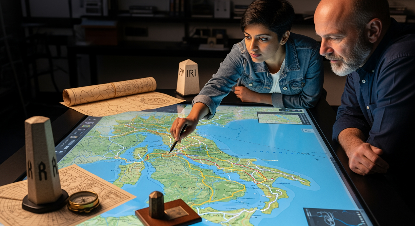
A groundbreaking digital mapping initiative has unveiled a Roman road network nearly twice as extensive as previously understood, fundamentally altering our perception of the ancient empire's reach and connectivity. The project, named Itiner-e, reconstructs almost 300,000 kilometers (approximately 186,000 miles) of roads across Europe, North Africa, and the Near East, offering an unprecedented high-resolution view of the intricate arteries that sustained one of history's most powerful civilizations around 150 CE. This monumental undertaking not only expands the physical boundaries of the empire's infrastructure but also provides critical new insights into its administration, economy, military logistics, and the daily lives of its inhabitants.
Unveiling a Vaster Network: Doubling the Empire's Reach
For centuries, historians and archaeologists have grappled with the true extent of the Roman Empire's road system. Earlier estimates placed the network at roughly 188,000 kilometers. However, the meticulously compiled data from Itiner-e pushes that figure to 299,171 kilometers, representing an almost 100% increase in the known length of Roman roads. This significant expansion, primarily attributed to the inclusion of previously underrepresented regions such as the Iberian Peninsula, Greece, and North Africa, reveals a far more comprehensive and interconnected Roman world than previously imagined. The research, led by archaeologists Tom Brughmans of Aarhus University in Denmark and Pau de Soto Cañamares of the Autonomous University of Barcelona, meticulously distinguishes between main roads and a multitude of secondary routes. Of the nearly 300,000 kilometers mapped, 103,478 kilometers (34.6%) are classified as main roads, while 195,693 kilometers (65.4%) represent secondary routes, offering a nuanced view of both imperial highways and local pathways. This level of detail profoundly impacts our understanding of how people, goods, and ideas moved throughout the empire.
The Meticulous Craft of Digital Reconstruction
The creation of Itiner-e was a complex endeavor, fusing two centuries of archaeological and historical research with cutting-edge digital technologies. Researchers combined information from ancient texts, Latin inscriptions, historical maps, and archaeological reports with modern topographic maps, satellite imagery, and remote sensing data. Every single road segment was manually digitized, often with precision ranging from 5 to 200 meters, to accurately reflect real-world topography. Unlike older maps that often depicted roads as straight lines, Itiner-e's detailed reconstruction shows how Roman engineers adapted routes to natural geography, winding through valleys and curving around mountains.
This detailed mapping involved segmenting the road network into 14,769 individual sections, each accompanied by metadata indicating its classification, construction period, and a crucial "certainty category." While only a small percentage of roads (2.7%) are known with absolute certainty through archaeological remains, approximately 90% are classified as "conjectural," reconstructed from multiple converging clues, and about 7.4% are hypothesized based on historical and geographical inference. This transparency in methodology underscores the rigorous academic approach behind the project and highlights areas for future archaeological investigation. The open-access nature of the Itiner-e platform ensures that this rich dataset is available for scholars and enthusiasts worldwide, fostering further research and exploration.
Reshaping Our Understanding of the Roman World
The expanded road network revealed by Itiner-e offers transformative insights into the functional dynamics of the Roman Empire. The sheer density of roads, especially the vast network of secondary routes, suggests a more integrated and interconnected empire than previously understood. This dense web facilitated not only the rapid movement of legions and imperial administrators but also the widespread exchange of goods, cultures, and even diseases. For instance, researchers noted that by mapping these ancient routes, they gain a "2,000-year-old case study on the centuries-long societal impact of pandemics," such as the Antonine Plague.
The map provides a "fascinating window into everyday provincial life," illustrating how essential these local roads were for regional trade, communication between smaller settlements, and the broader social fabric of the empire. It highlights the human aspect of Roman infrastructure, emphasizing how critical this network was for unifying diverse populations across three continents. The roads were not merely logistical tools but instruments of political control and cultural dissemination, with milestones proudly displaying the names of emperors responsible for their construction, reinforcing imperial authority throughout the vast domain. This comprehensive digital atlas provides a dynamic platform for scholars to investigate how infrastructure shaped connectivity, trade, migration, and administration, offering a richer understanding of the Roman Empire's profound impact on the ancient world.
Beyond Itiner-e: A Broader Digital Renaissance for Ancient Studies
Itiner-e is part of a growing trend in digital humanities that leverages technology to illuminate ancient history. Other significant projects have similarly revolutionized our understanding of Roman travel and geography. ORBIS: The Stanford Geospatial Network Model of the Roman World, for example, simulates the time and cost associated with various forms of ancient travel, including land, river, and sea routes, incorporating factors like seasonal variations and different modes of transport. This interactive tool allows users to calculate travel times and expenses between hundreds of sites, providing a dynamic perspective on Roman mobility.
Another notable project, OmnesViae, acts as a "Roman route planner" based primarily on the Tabula Peutingeriana, a medieval copy of an ancient Roman road map, and the Antonine Itinerary. OmnesViae digitally reconstructs these historical routes, allowing modern users to trace journeys across the empire as the Romans might have. Furthermore, platforms like Pleiades offer an open-access geospatial dataset of ancient places, providing a foundational resource for numerous digital humanities projects and enabling "citizen scholarship" in ancient geography. These initiatives, working in conjunction with Itiner-e, are collectively transforming the study of the ancient world, making historical geography more accessible and dynamic than ever before.
A New Horizon for Ancient History
The launch of Itiner-e marks a significant milestone in our quest to understand the Roman Empire. By bringing the ancient road network to life with unprecedented detail, this digital map provides a powerful new lens through which to examine one of history's most influential civilizations. It not only fills crucial gaps in our knowledge but also opens new avenues for research, allowing scholars to explore the intricate connections that bound the empire together. The project stands as a testament to the power of interdisciplinary collaboration, combining classical studies, archaeology, geography, and computer science to create a resource that both enriches historical knowledge and exemplifies the transformative potential of digital humanities. Itiner-e ensures that the legacy of Rome's engineering marvels and its profound impact on the ancient world continue to be explored and understood by generations to come.
Related Articles


Building a Bulwark Against Tremors: How Nations Engineer Resilience in an Earthquake-Prone World
The ground beneath our feet is rarely still. In a world shaped by shifting tectonic plates, earthquakes remain one of humanity's most unpredictable and destructive natural adversaries. Yet, across the globe, nations...


Alcohol and Heat Waves: A Dangerous Combination with Severe Health Risks
As soaring temperatures become a more frequent reality across the globe, public health officials are issuing urgent warnings about an often-overlooked danger: the consumption of alcohol during a heat wave. While a cold...