Powerful Quake Rocks Molucca Sea, Triggering Tsunami and Causing Fatalities in Eastern Indonesia
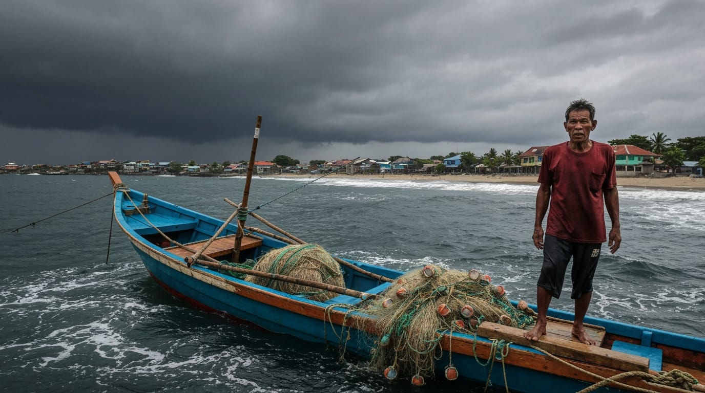
A powerful magnitude 7.4 earthquake struck the Molucca Sea near eastern Indonesia early Thursday, setting off small tsunami waves and leading to at least one fatality. The seismic event prompted immediate tsunami warnings across the region, causing widespread panic in coastal communities before the alert was eventually lifted.
The temblor, occurring at approximately 6:48 AM local time (21:48 GMT Wednesday), sent residents scrambling from their homes as the ground shook for an extended period. While the generated tsunami waves were relatively small, measuring up to 0.75 meters (2.5 feet) in some areas, the event underscored the persistent seismic risks faced by the archipelago nation situated on the volatile "Ring of Fire."
Immediate Impact and Tsunami Response
The U.S. Geological Survey (USGS) reported the earthquake's epicenter at a depth of 35 kilometers (22 miles) in the Molucca Sea, approximately 127 kilometers (79 miles) west-northwest of Ternate, Indonesia. The initial strong jolt, which one Ternate resident described as lasting for "quite long, more than a minute," was felt across a wide area, including the cities of Manado in North Sulawesi province and Ternate in North Maluku province.
Following the quake, the Hawaii-based Pacific Tsunami Warning Center (PTWC) and Indonesia's Meteorology, Climatology and Geophysics Agency (BMKG) issued tsunami warnings. These warnings indicated the possibility of hazardous tsunami waves within 1,000 kilometers (621 miles) of the epicenter, affecting coastal areas of Indonesia, the Philippines, and Malaysia. Small tsunami waves were subsequently recorded at several monitoring stations. Bitung in northeastern Sulawesi registered waves of 20 centimeters (8 inches), while West Halmahera and North Maluku reported waves of 30 centimeters (a foot). The highest recorded wave reached 75 centimeters in North Minahasa. The PTWC lifted its tsunami threat warning approximately two hours after the earthquake, stating that "the tsunami threat from this earthquake has now passed."
Casualties and Damage Assessment
The powerful earthquake resulted in at least one fatality and one injury in North Sulawesi province. A 70-year-old woman in Minahasa district died after being buried under the rubble of a collapsed building. An official reported that one person also sustained a leg injury in the Manado area.
Initial assessments from local disaster officials indicated light to moderate damage to infrastructure. In Ternate, reports detailed damage to one church in the Batang Dua Island district and two houses in South Ternate. A building used by the local sport authority in Manado was also reported to have collapsed. Damage assessments were still underway in Bitung as authorities worked to ascertain the full extent of the destruction across the affected areas. Witnesses described a chaotic scene, with people rushing out of their homes in panic, some reportedly leaving before finishing their morning routines.
Indonesia's Seismically Active Landscape
Indonesia's vulnerability to such powerful seismic events is a direct consequence of its geographical location. The archipelago sits squarely on the "Pacific Ring of Fire," an arc of intense seismic activity where multiple tectonic plates converge and collide. This geological instability leads to frequent earthquakes and volcanic eruptions across the vast nation of more than 280 million people.
The Molucca Sea itself is a particularly complex tectonic zone, characterized by an active arc-arc collision where the Halmahera microplate in the east is colliding with the Sangihe microplate in the west. This collision involves the "double subduction" of the Molucca Sea Plate, which subducts both westward beneath the Sangihe Arc and eastward beneath the Halmahera Arc. This unique geological configuration generates significant stress, leading to high levels of seismic activity, particularly shallow earthquakes, and the formation of features like the Mayu-Talaud Ridge.
The region has a history of devastating seismic events. In 2004, a magnitude 9.1 earthquake off Aceh province triggered a massive Indian Ocean tsunami that claimed over 230,000 lives in a dozen countries, with the majority in Indonesia. More recently, a 2018 earthquake and tsunami in Sulawesi killed more than 4,300 people, and a magnitude 5.6 earthquake in West Java's Cianjur city in 2022 resulted in at least 602 fatalities.
Ongoing Vigilance and Recovery Efforts
In the aftermath of Thursday's earthquake, Indonesian authorities urged coastal residents to remain vigilant. Abdul Muhari, spokesperson for Indonesia's Disaster Management Agency, advised individuals not to return to beaches or coastal areas until an official all-clear was issued. The BMKG also reported monitoring 11 aftershocks following the main quake, with the largest measuring magnitude 5.5. While these aftershocks were felt in the affected areas, officials stated they did not have tsunami potential.
The immediate focus remains on assessing the full scope of damage and supporting affected communities. Despite the strong shaking, some initial reports indicated that not all areas experienced significant structural damage. The swift, albeit small, tsunami response highlights the persistent threat that marine quakes pose to Indonesia and its neighbors. As the nation continues to grapple with the geological forces beneath its surface, preparedness and rapid response remain paramount in mitigating the impact of these unavoidable natural disasters.