Satellites and AI Chart a New Course in the Global Fight Against Poverty

The invisible lines of poverty, long obscured by vast distances and scarce ground data, are now being illuminated with unprecedented clarity by a new generation of eyes in the sky. Integrating high-resolution satellite imagery with advanced artificial intelligence and machine learning algorithms, researchers are transforming how the world identifies, measures, and ultimately combats economic hardship. This technological leap offers a powerful tool to overcome the persistent challenges of traditional poverty mapping, promising more accurate, timely, and granular insights that could redefine global development strategies.
Unveiling Hidden Hardship from Orbit
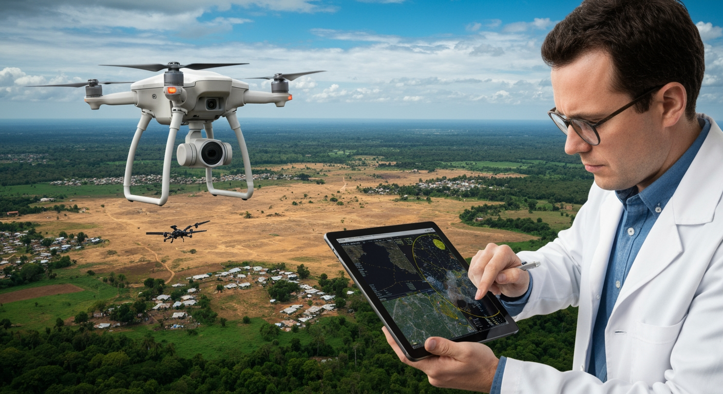
For decades, the understanding of global poverty relied heavily on labor-intensive, costly, and often infrequent household surveys and census data. These methods frequently fall short in providing the necessary detail or current information, especially in remote regions or countries with limited data collection capacity. The gap in reliable data has been a significant barrier to effectively targeting aid and evaluating the impact of interventions. Enter the age of Earth Observation (EO) data and machine learning. Scientists are now employing satellites to capture a wealth of visual information, from the brightness of nighttime lights—a common proxy for economic activity—to the intricate details of daytime landscapes.
By combining these diverse data streams, AI algorithms, particularly convolutional neural networks (CNNs), are trained to identify subtle indicators of wealth and poverty. These algorithms learn to correlate features visible from space, such as road networks, building materials (like metal versus thatched roofs), vegetation health, access to water, and even patterns of land use, with existing survey-based wealth indicators. The result is a sophisticated system that can estimate economic well-being at a highly localized level, revealing pockets of deprivation that were previously invisible or poorly understood.
Bridging the Data Divide
The primary strength of satellite-driven poverty mapping lies in its ability to circumvent the limitations of conventional data collection. Traditional surveys are not only expensive and time-consuming but also happen infrequently, with some countries lacking updated data for years or even decades. Satellites, in contrast, provide continuous, high-resolution imagery that can be updated every few days, offering a dynamic view of socio-economic conditions. This frequent data refresh allows policymakers and aid organizations to monitor changes in poverty in near real-time, adapting programs as circumstances evolve.
Furthermore, satellite imagery, increasingly available through public and commercial sources, offers a cost-effective and scalable solution. It can cover vast geographical areas, including those inaccessible or dangerous for on-the-ground survey teams, providing crucial insights into populations that have historically been excluded from official statistics. This comprehensive coverage ensures a more equitable understanding of poverty distribution, helping to prevent the oversight of vulnerable communities.
Empowering Targeted Interventions
The implications of this enhanced mapping capability are profound for global development efforts. With more precise and localized poverty data, governments and non-governmental organizations can allocate resources more effectively, ensuring aid reaches those who need it most. High-resolution poverty maps can inform the design of targeted interventions, such as conditional cash transfer programs, school feeding initiatives, and microfinance opportunities, tailoring them to the specific needs of micro-regions.
Studies across various African nations, including Nigeria, Uganda, Tanzania, Rwanda, and Malawi, have demonstrated the impressive accuracy of these models in predicting poverty, often outperforming methods relying solely on nighttime imagery. In Southeast Asia, applications in Indonesia and Maldives have showcased how AI and satellite data can enhance the understanding of spatial poverty distribution, identifying specific regional patterns that traditional surveys might miss. This data-driven approach moves beyond broad national averages to pinpoint precise locations and populations requiring support, making anti-poverty programs more efficient and impactful.
Navigating the Challenges Ahead
Despite its transformative potential, the integration of satellite data and AI into poverty mapping is not without its challenges. Researchers highlight the need for greater transparency in "black-box" models, where algorithms generate predictions without clearly revealing the underlying reasoning. Ensuring that models are interpretable and linked to local contexts is crucial to building trust and preventing the misdirection of scarce resources due to an oversimplified or inaccurate representation of complex local conditions.
Moreover, while powerful, satellite data is not a complete replacement for on-the-ground surveys. Experts emphasize that the most robust insights come from combining multiple data streams—satellites plus surveys—as each method offers unique and complementary information. Challenges also exist in the transferability of models; an AI model trained in one country might not accurately predict poverty in another due to significant differences in socioeconomic conditions and data distributions. Furthermore, while effective in broad strokes, nightlight data may struggle to differentiate between the extremely poor at the very bottom of the income spectrum, where areas appear uniformly dark.
A Future Shaped by Data
The convergence of satellite technology and artificial intelligence marks a pivotal moment in the global effort to eradicate poverty. By providing an unparalleled view of economic conditions on the ground, these tools are empowering a more informed, responsive, and ultimately, more effective approach to development. As satellite imagery becomes even more ubiquitous and AI algorithms grow more sophisticated, the precision and utility of these poverty maps will continue to increase. The journey toward a world free of poverty is arduous, but with these new eyes in the sky, humanity is gaining an indispensable guide, helping to navigate the complex landscape of global inequality and direct aid to where it can make the most profound difference. The ongoing refinement and ethical application of this technology, harmonized with local insights and traditional data, holds the promise of truly illuminating the path to a more equitable future.
Related Articles


International Health Agencies Mobilize to Contain Hantavirus Outbreak Following Cruise Ship Incident
An unprecedented international public health operation is underway as global health authorities coordinate the repatriation and isolation of passengers and crew from a cruise ship affected by a deadly Hantavirus...


Understanding the Differences: Hantavirus and COVID-19, Two Distinct Viral Threats
The emergence of novel pathogens often triggers public concern, particularly when symptoms appear similar to more widely known diseases. In the wake of the recent global experience with COVID-19, questions have...