Engineering Safety: How Mountain Communities Are Adapting to Melting Glaciers
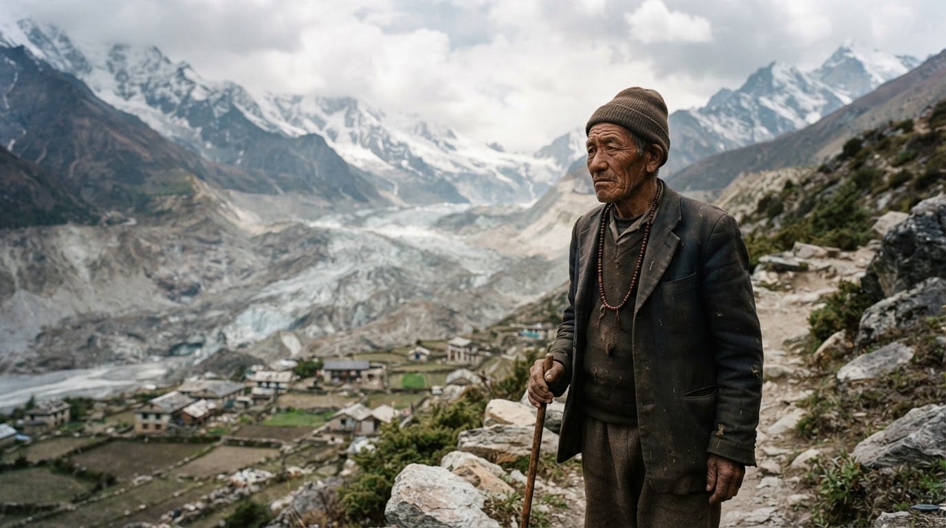
High in the world’s major mountain ranges, rising temperatures are melting ancient ice and creating massive, unstable bodies of water. These glacial lakes, trapped only by fragile ridges of loose rock and soil, pose a growing threat to millions of people living downstream. When these natural dams fail, they unleash catastrophic glacial lake outburst floods that can wipe out entire villages, bridges, and power stations in minutes. Facing this reality, vulnerable nations are turning to a blend of advanced engineering, automated early warning networks, and grassroots planning to protect their citizens.
The Growing Threat Above Downstream Valleys
Glacial retreat is accelerating across the Himalayas, the Andes, Central Asia, and Alaska. As glaciers shrink, meltwater gathers in natural depressions, forming thousands of high-altitude lakes. Many of these basins are held back by moraines—piles of dirt, boulders, and residual ice left behind by moving glaciers.
These moraine dams are inherently unstable. A sudden rockfall, an avalanche, heavy rainfall, or an earthquake can trigger a displacement wave that breaches the dam. The resulting torrent carries mud, boulders, and debris down river valleys at destructive speeds. Recent disasters in India’s Uttarakhand and Sikkim regions demonstrated how quickly such floods can destroy vital infrastructure, wash away settlements, and claim human lives. Globally, researchers estimate that roughly 15 million people live in zones exposed to potential glacial flood pathways, with the highest concentration in Asia and South America.
Heavy Engineering at High Altitudes
To prevent disasters before they start, governments and international aid groups are investing in structural interventions designed to stabilize the most dangerous lakes. The primary strategy is controlled drainage, which lowers lake volumes to safe levels so that any incoming landslide or avalanche will not cause a catastrophic breach.
In Nepal, engineers and military units have targeted high-risk bodies of water like Lake Imja and Lake Tsho Rolpa. Working at elevations exceeding 14,000 feet, crews cut artificial outlet channels into moraine dams, install steel sluice gates, and lay siphoning pipes to drain millions of cubic meters of water. Similar engineering projects are underway across the Peruvian Andes, where drain tunnels and concrete spillways have kept glacial lakes stable for decades.
Downstream, communities are reinforcing river corridors. Builders are erecting concrete retention walls, deepening river channels, and constructing check dams to slow the flow of potential debris torrents. These physical defenses protect bridges, roads, and agricultural fields from being scoured away during high-water events.
Early Warning Systems and Digital Monitoring
While physical drainage reduces hazard levels, it cannot eliminate danger entirely. Mountain terrain makes heavy construction expensive, logistically complex, and sometimes impossible. To bridge the gap, authorities are expanding digital early warning systems.
Modern monitoring networks combine satellite tracking, automated lake sensors, and valley-wide communications. Satellite imagery scans remote glacial basins for rapid expansions, while solar-powered water-level sensors and geophones record sudden changes at the lakes themselves.
If water levels surge or a dam begins to fail, automated systems transmit radio signals down the valley within seconds. These triggers activate sirens, flash broadcast warnings, and deliver emergency text alerts to local residents. In narrow mountain valleys, warning systems provide anywhere from 10 minutes to several hours of lead time—sufficient for families to evacuate riverbanks and reach designated safe zones on higher ground.
Local Preparedness and Policy Limits
Technology and concrete provide protection only when backed by local action and policy enforcement. Disaster agencies work directly with villagers in Pakistan, Nepal, and Central Asia to establish community response teams, map out evacuation routes, and run regular evacuation drills.
Proper zoning represents an equally critical, though contentious, line of defense. As tourism, road networks, and hydropower facilities expand across mountain corridors, more buildings are placed directly inside flood paths. Restricting construction along hazardous riverfronts saves lives, but local economies often push back against land-use limits that restrict commercial development.
Long-term protection also faces the reality of changing water cycles. As glaciers continue to melt, valleys will eventually shift from flood risks to severe summer water shortages. In response, some communities in northern India and the Andes are constructing artificial ice reservoirs, known as ice stupas, to freeze winter runoff and store water for spring farming, demonstrating that community protection involves managing water scarcity as well as flood hazards.
Building Resilience Against Moving Mountains
Communities cannot halt the melting of mountain glaciers through local efforts alone, but strategic planning significantly reduces the human toll. By draining unstable lakes, deploying automated early warnings, and teaching residents how to respond to alerts, mountain regions are turning sudden disasters into manageable risks. Sustaining these protections will require ongoing international financing, continuous monitoring of new high-altitude lakes, and strict land planning to ensure downstream development stays out of harm's way.