Storm Goretti Unleashes Winter Fury Across United Kingdom
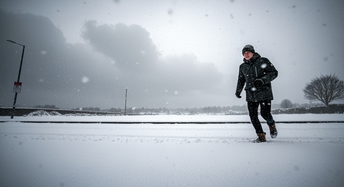
Britain is grappling with the severe onset of Storm Goretti, the first named storm of 2026, as it collides with an entrenched Arctic air mass, blanketing large swathes of the country in heavy snow, treacherous ice, and powerful winds. The Met Office has issued a series of urgent warnings, advising the public of "dangerous conditions" and widespread disruption to travel, schools, and essential services as the storm's main impact window unfolds from Thursday evening through Friday afternoon.
The formidable weather system follows what has already been the coldest period of the winter, with temperatures plummeting to record lows across the UK in recent days. As the storm makes landfall, a complex and hazardous scenario is developing, prompting calls for increased public vigilance and preparedness across the nation.
Collision Course: Storm Goretti Descends on the UK
Storm Goretti, officially named by Météo-France, the French national weather service, originated as a potent Atlantic low-pressure system over western Europe. It has since tracked north-eastward, directly towards the English Channel and the United Kingdom. The storm's severity stems from a critical meteorological event: the convergence of milder Atlantic air with the exceptionally cold Arctic air already settled over the British Isles. This atmospheric clash is generating a highly unstable winter pattern, significantly escalating the risks of heavy snowfall, freezing rain, and the rapid formation of black ice. Meteorologists are cautioning that this combination represents one of the most perilous winter scenarios, capable of deteriorating conditions faster than typical weather models might predict, posing extreme threats to road safety, rail operations, electricity grids, and emergency response capabilities.
The storm arrives on the heels of an intense cold snap that has already seen temperatures fall significantly below zero. On Tuesday, January 6, the Met Office confirmed that parts of Britain had experienced temperatures well below -10°C, a level more commonly associated with northern Scandinavia than the UK. Notable lows included -11.2°C in Dalwhinnie, Highland Scotland, -10.7°C in Tulloch Bridge, Inverness-shire, and -10°C in areas of Suffolk and North Yorkshire. Norfolk also recorded a biting -12.5°C. This pre-existing deep freeze has created an exceptionally vulnerable landscape for the impending storm, contributing to the "multi-hazard event" described by chief forecaster Neil Armstrong.
Widespread Warnings and Impending Havoc
As Storm Goretti makes its presence felt, a comprehensive array of weather warnings has been activated across the UK. A yellow snow warning is currently in effect from 6 p.m. on Thursday, January 8, until midday on Friday, January 9, encompassing much of Wales, the Midlands, the South East, and western England. This period marks the storm's primary impact window for Britain. Additionally, a yellow ice warning was in force for nearly the entire UK on Wednesday, January 7, underscoring the widespread danger of slippery conditions. Further warnings include a yellow wind alert for southwest England, active from 3 p.m. to midnight on Thursday, January 8, predicting gusts of 50-60 mph, potentially reaching 70 mph, and even up to 80 mph along coastal areas, with some forecasts suggesting up to 100 mph in isolated spots.
The Met Office forecasts heavy snowfall, with some areas, particularly over higher ground, expected to receive up to 20 centimeters of snow. More severe accumulations are anticipated in parts of Wales and the Peak District, where an amber snow warning is in effect, with potential for up to 30 centimeters (12 inches) of snow overnight from Thursday into Friday. Upland regions of south Wales, the Cotswolds, the Pennines, and the Midlands are identified as facing the greatest risk of disruptive snowfall, exacerbated by strong winds that could lead to significant drifting and temporary road blockages. The storm's progression is described as an "explosive snow system" capable of bringing blizzards across hundreds of miles, creating conditions that have been labeled "dangerous" by forecasters.
Ripple Effects: Transport, Schools, and Services Grapple with Disruption
The impact of Storm Goretti extends far beyond weather warnings, manifesting as widespread disruption to daily life across the United Kingdom. Transport networks are particularly vulnerable, with "do not travel" alerts being issued for certain areas. Roads are becoming increasingly hazardous due to heavy snowfall and the rapid formation of black ice, which can render surfaces treacherous within minutes. Rail services are experiencing delays and cancellations, while ferry operations and even some flights have been affected. Heavy snowfall, especially in northern and eastern Scotland, has led to communities becoming isolated, prompting Scottish Tory MP Andrew Bowie to advocate for military support to assist with snow clearance and the delivery of essential supplies.
School closures have become extensive, particularly in regions already hit by the preceding cold snap. Hundreds of schools across Scotland, for instance, have remained closed for a fourth consecutive day, affecting thousands of students in areas like Aberdeenshire and the Highlands. The severe weather conditions, including icy terrain and significant snowfall, have forced these closures, disrupting the start of term for many. Beyond education and transport, there is a tangible threat to essential services. Forecasters warn of the potential for power cuts, which could impact services widely, including mobile phone coverage, particularly in areas experiencing the heaviest snowfall and strong winds. The combination of freezing temperatures and a multi-faceted storm poses a significant challenge to the country's infrastructure and emergency services.
Navigating the Extreme: Public Safety and Preparedness
Authorities are urgently advising both pedestrians and motorists to exercise extreme caution as icy conditions create treacherous travel scenarios across the UK. The rapid onset of black ice, a phenomenon where ice forms nearly invisibly on road surfaces, presents a particularly insidious danger, making driving and even walking highly perilous. Drifting snow, especially in upland areas, could further exacerbate travel difficulties, leading to unexpected road closures and potentially stranding individuals. The Met Office has emphasized that people in warning areas must take great care, highlighting the storm's capacity to quickly intensify.
The combination of strong winds and heavy snow can lead to blizzard conditions, severely reducing visibility and making outdoor movement extremely dangerous. Emergency services are on heightened alert, preparing for an increase in weather-related incidents. The UK Health Security Agency has also issued warnings, underscoring the broader public health implications of such extreme cold and hazardous conditions. As the storm progresses, the focus remains firmly on public safety, with continuous updates expected from meteorological offices and local authorities to guide residents through this challenging winter period.
Conclusion
Storm Goretti represents a significant and multi-faceted threat to the United Kingdom, bringing a dangerous cocktail of heavy snow, freezing rain, widespread ice, and powerful winds. Its arrival after an already exceptionally cold spell has amplified the potential for disruption, affecting critical infrastructure, transport links, and daily life for millions. As the country navigates this intense winter weather event, vigilance, adherence to official warnings, and careful preparation remain paramount for ensuring public safety and minimizing the storm's impact. The coming hours and days will be crucial as the nation contends with the full force of this winter fury.
Related Articles

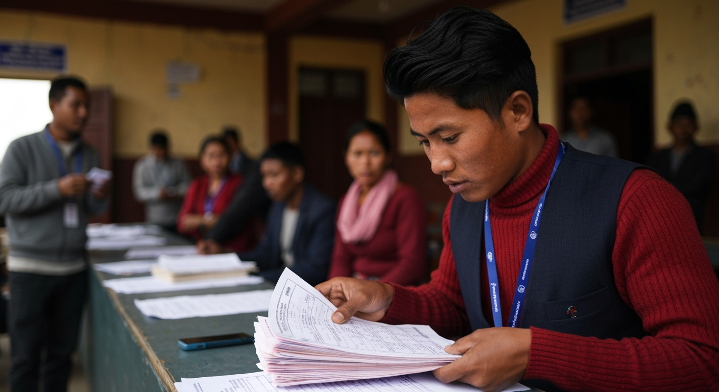
Nepal's Political Earthquake: New Guard Surges in Historic Election Amidst Calls for Change
KATHMANDU – Nepal is witnessing a profound political transformation, as early vote returns from the parliamentary election held on March 5, 2026, indicate a significant shift away from the nation's long-dominant political establishment. The nascent Rastriya Swatantra Party (RSP), led by rapper-turned-politician Balendra Shah, appears poised for a remarkable victory, riding a wave of public disillusionment and a fervent demand for accountability and reform

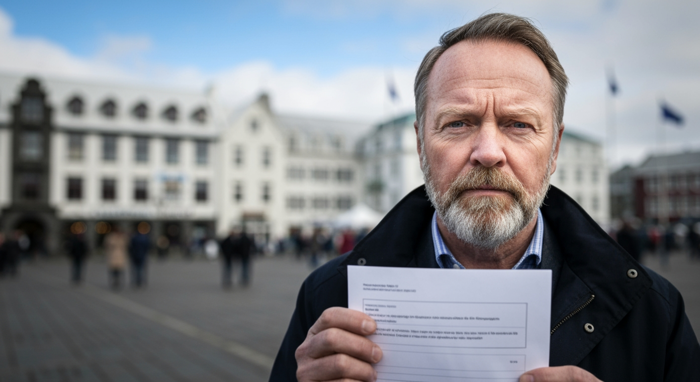
Iceland to Hold Referendum on Rekindling EU Membership Bid Amid Shifting Global Landscape
REYKJAVIK, Iceland – More than a decade after suspending its application, Iceland is poised to revisit the question of European Union membership. The Icelandic government announced Friday, March 6, 2026, that a national referendum will be held on August 29, 2026, to decide whether the North Atlantic island nation should resume accession negotiations with the European Union


EU Suspends Visa-Free Travel for Georgian Officials Amid Democratic Backsliding Concerns
Brussels, Belgium – The European Union has taken a decisive step against Georgia, suspending visa-free travel for holders of Georgian diplomatic and official passports. The measure, announced Friday, March 6, 2026, by the European Commission, is a direct response to what Brussels describes as significant democratic backsliding and a crackdown on opposition within the Caucasus nation